Thursday morning, August 19, we made a stop at the Yukon Transportation Museum in Whitehorse, a very interesting museum. I didn't expect much for a local museum, but I was pleasantly surprised and really enjoyed the visit. After our museum time, we headed east from Whitehorse to Watson Lake, a drive we had made west in July. This was just a travel day over territory we had seen earlier and in better weather. Thursday brought a day of rain and clouds, so we didn't stop often until we arrived at our destination a few miles west of Watson Lake and didn't take any pictures all day--a first! Even though it was raining and we had seen it earlier, we were still fascinated with the beauty. The rain and clouds just gave it a different kind of beauty! We spent another night camping in the rain, but we were compensated by their wonderful "Wolf It Down" Restaurant and Bakery!
On Friday, August 20, we continued from Watson Lake to Ft. Nelson on another rainy day. When we left Watson Lake, we passed a line of vehicles waiting in line to see if they could get in the convoy possibly going south on the Cassier Highway, the highway we took north in July. It had been closed due to massive forest fires, but there were rumors they might take a convoy through. The day before they had decided at 3:00 pm not to go through, so all the people waiting had to go another route! I'm glad we had taken it earlier; we talked to many people who had planned to leave by this route and had to change plans. We could certainly see and smell the smoke from the fires, one of which was just a few miles from where we were.
This must have been wildlife day! We had seen bison warning signs for miles, and we finally came upon a herd napping and grazing on both sides of the highway.

Note bison on the opposite side of the road also, near the trees.

A baby bison, curled up in the grass, napping

A big bull bison right beside the road

A calf grazing beside the road

The Liard River Bridge, the last remaining suspension bridge on the Alaska Hwy.

The Liard River from the bridge

The Trout River

Ernie looking cute beside the Trout River

The Alaska Hwy. winding along beside the river

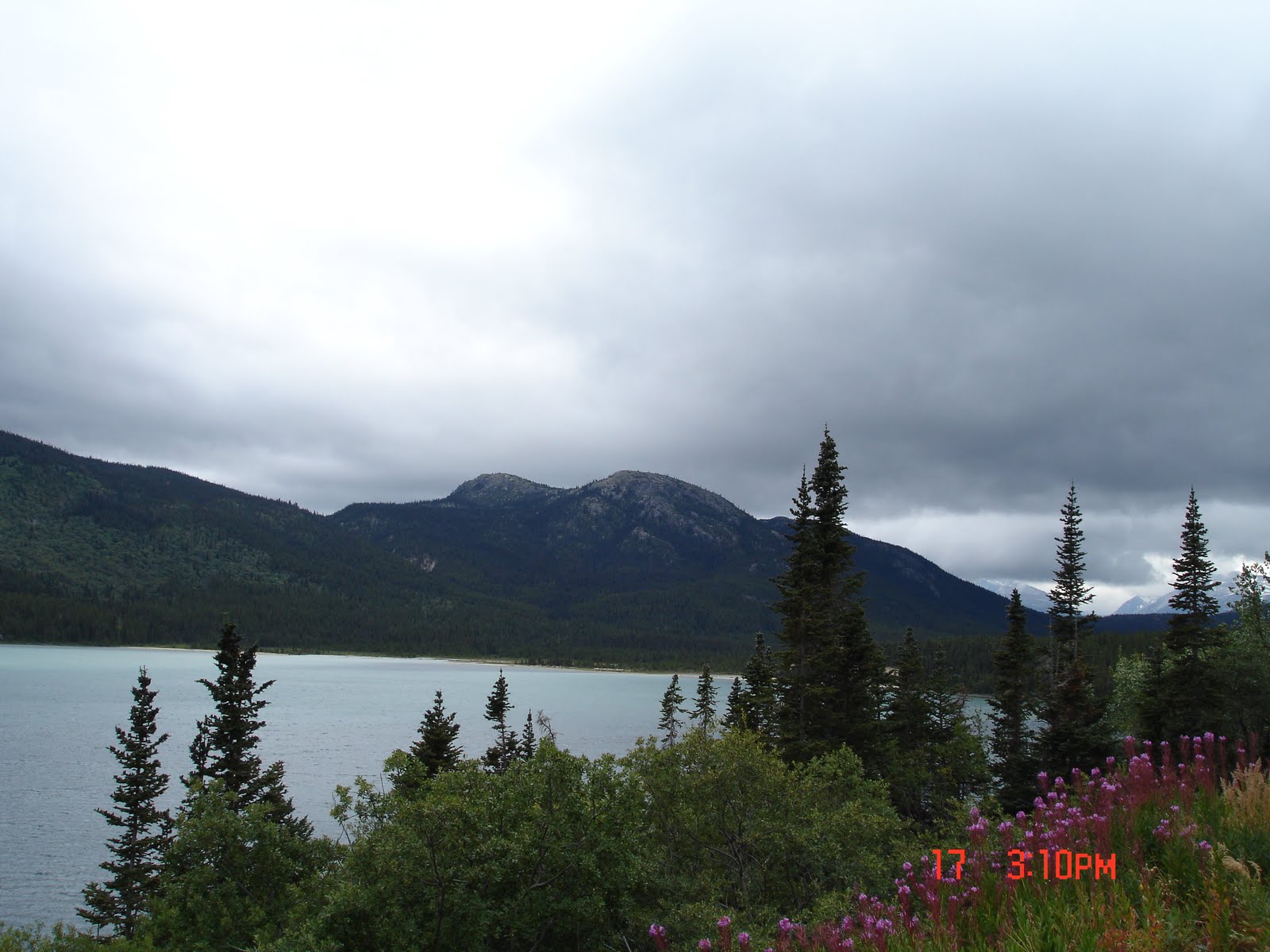
Muncho Lake with Peterson Mountain at the end. At the right side is the Terminal Range of the Rocky Mountains (northern-most range of the Rockies), and the left is the Sentinel Range of the Stone Mountains.

Muncho Lake and Peterson Mountain

Ernie at Muncho Lake

Joanne at Muncho Lake

Alaska Hwy. winding along beside Muncho Lake

Southern end of Muncho Lake


Ernie again had to drive off-road to get closer to the water--I think he just likes driving on rocks :)

Mama and baby Stone sheep standing in the road

Baby Stone sheep as they walked right past the truck

Two more Stone sheep on the other side of the road

A few more feet up the road were two caribou

Toad River, an odd name I thought for a beautiful, turquoise-colored river

Centennial Falls

We were surprised to come across a hay field! We didn't expect to see this until getting to the prairies later! But Ernie was excited!

Racing River Bridge and Racing River


Summit Lake--Summit Lake Pass is the highest pass on the Alaska Hwy.

Steamboat Mountain Summit
 Our goal was to get to Ft. Nelson, but we almost stopped at Toad River at a campground we saw. We decided to go on to Ft. Nelson, though, because we didn't have phone service and wouldn't have internet service before Ft. Nelson. Ross and Mandy had had a terrible day Thursday, and we really wanted to talk to them, so we wanted to get to a place with phone service. By the time we got to Ft. Nelson, it was too late because of the time difference to call Jesse and Amber, but we did get to talk to Ross and Mandy. We could only find two restaurants open, so we chose "Dixie Lee" Chicken--yuk! Poor choice! It had been raining, it was cold, and by then we were exhausted so decided to get a hotel. Turns out all the hotels were full except one because "the bush" had been "closed down" because of all the rain, so all the people who work in the bush were in hotels in town (don't exactly grasp that whole concept, but the hotel parking lots were full of very muddy trucks, and the halls of the hotel we got were quite muddy!) Our room in the "historic" Ft. Nelson Hotel wasn't as bad as the halls indicated--it was clean and dry so we had a good night's sleep without getting soaked!!

 It didn't take long for us to catch up to the clouds and rain--we were apparently traveling the same path and caught up to the storm system by midday. The radar Ernie had looked at hadn't shown anything, but it was obviously faulty. (Later he found another radar that showed the massive system we'd been following!)


 While searching Dawson Creek for the two campgrounds that were supposed to be there, we found one which seemed to be full and hosting a "Peace Festival," but we never could find the other even with GPS. So we decided to stay dry and get another hotel room--this time a new and much nicer Days Inn at a reasonable price. Ahh, the joys of private bathrooms and showers and dry beds!