A view of the railroad we traveled on this morning from the other side

The railroad with one of the bridges we traveled over

Pitchfork Falls and hydroelectric pipe

Pitchfork Falls


Highway up ahead winding up the mountain

William Moore Bridge spanning a 110-ten-foot-wide gorge over Moore Creek

International Border Falls

Inukshuk erected by the Kiwanis at the border

White Pass Summit

US/Canadian Border

Welcome to Alaska sign as we're leaving :(

Sad to leave Alaska!
 Not too long after this we went through Customs for the second time to reenter the US--we'd also gone through earlier before we left Canada (never figured out why there were two checkpoints). We found that in the mountains the customs checkpoints are not necessarily right at the border due to the terrain--they're constructed where it's more convenient.
Tutshi Lake

Summit Lake

Tormented Valley and Bernard Lake


Tutshi Lake again, which extends for several miles

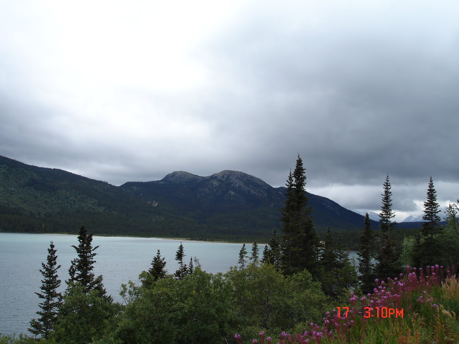
Tutshi Lake with wildflowers
Panorama of Tutshi Lake


Lake Bennett

Some mountain scenery

Ernie spotted a little side road leading down to the Windy Arm, an extension of Tutshi Lake, and thought that he and the truck needed a little 4-wheel drive time! Made me very nervous about the possibility of ruining a tire on sharp rocks, but my worry was unneeded (as usual) and all turned out well. Great views of Windy Arm--and we could certainly understand its name while standing on the rocks beside it!


Bove Island with Lime Mountain in the background


Lime Mountain

Outside the town of Carcross is the Carcross Desert, the world's smallest desert! It's an area of sand dunes of lake-bottom material left behind by a glacial lake. Very strange!

Emerald Lake, also called Rainbow Lake
I'm sure the colors would show up much better on a sunny day, but we could still see the emerald color and variety of other colors.
 We finally made it to Whitehorse to the same campground we had been in when we came through Whitehorse back in July. It's our favorite campground next to the one in Haines--they too have gorgeous flowers!


I was so impressed that they had vases of fresh flowers in all the bathrooms! Only campground we were in with such a nice touch!

 We stayed in Whitehorse an extra day to catch up on laundry and because they had good internet! Unfortunately it rained most of the time we were there :(
Tomorrow we start the last portion of the Alaska Highway that we haven't driven yet, from Whitehorse to Dawson Creek.
No comments:
Post a Comment