After days (seemed like weeks) of rain, we were glad to finally see some blue skies!

The results of a 2004 wildfire caused by lightening, which burned millions of acres of forest. One explanation we saw in a national park display said that forest fires are "nature's way of cleaning house."


A sign on the Taylor Highway, which I thought was a fantastic description of Alaska! It was referring specifically to the "Forty-Mile" region but could be said of much of Alaska.

Even though we started out with blue skies, before we got to Chicken, the skies again clouded up, and we drove through rain off and on. We were disappointed in having more rain, but were rewarded with a fantastic rainbow light display shimmering across the landscape.


Looking more like a typical rainbow now


The post office in Chicken, AK

As we came over the hill, this is the sight that greeted us. This is the "newer" addition, not the old original town of Chicken. Their claim to fame there is gold mining--it's still an area with active gold mines and Chicken Creek (behind the buildings and in front of the road in the picture) still has gold flecks in it. You can try your hand at panning for gold, but we passed on that activity.

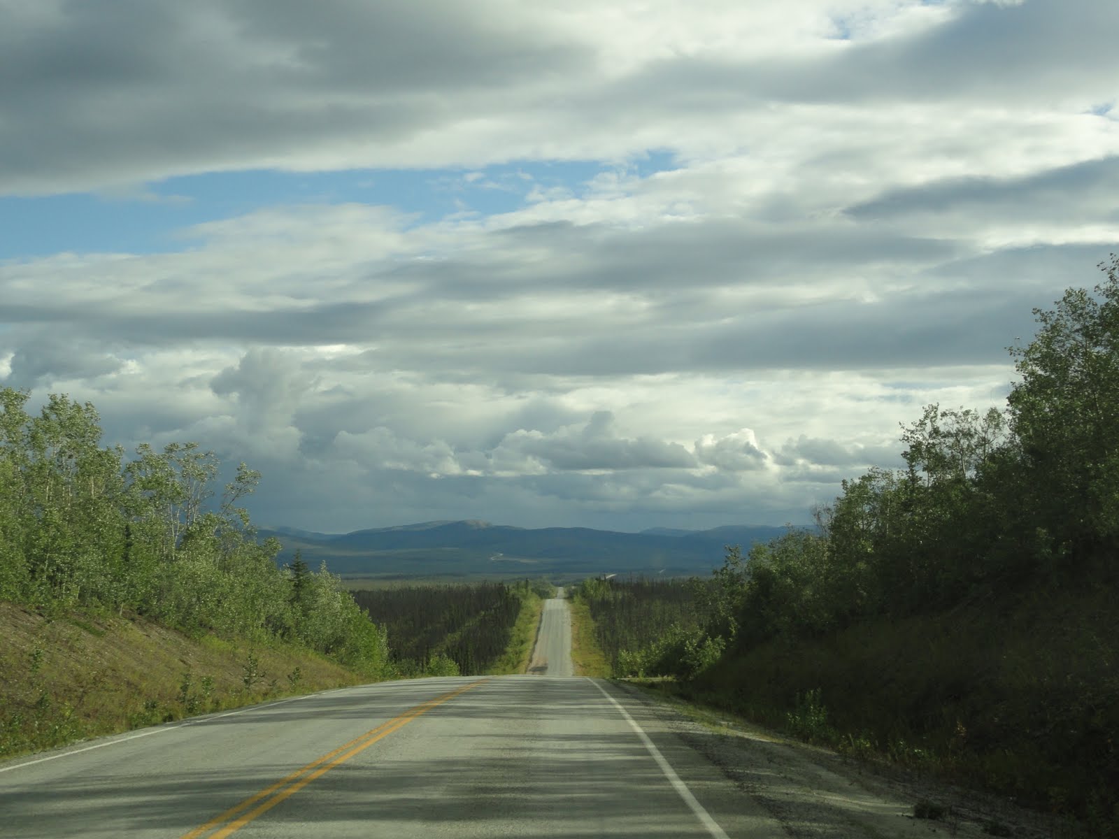
The Taylor Highway between Teslin Junction (near Tok) and Chicken--more clouds on the way back to Tok
. . . but we were rewarded with another rainbow!

No comments:
Post a Comment